
In the spirit of igniting innovation at LMU Frank R. Seaver College of Science and Engineering, Gustavo Vejarano, associate professor of electrical and computer engineering, has embarked on a groundbreaking project that could transform combatting wildfires.
Thanks to a substantial grant of nearly $200,000 over two years from the National Science Foundation, Vejarano’s project, titled “ERI: Fault-Tolerant Monitoring of Moving Clusters of Targets using Collaborative Unmanned Aerial Vehicles,” aims to harness the power of collaborative drones to monitor ground activities, particularly wildfires, with unprecedented efficiency.
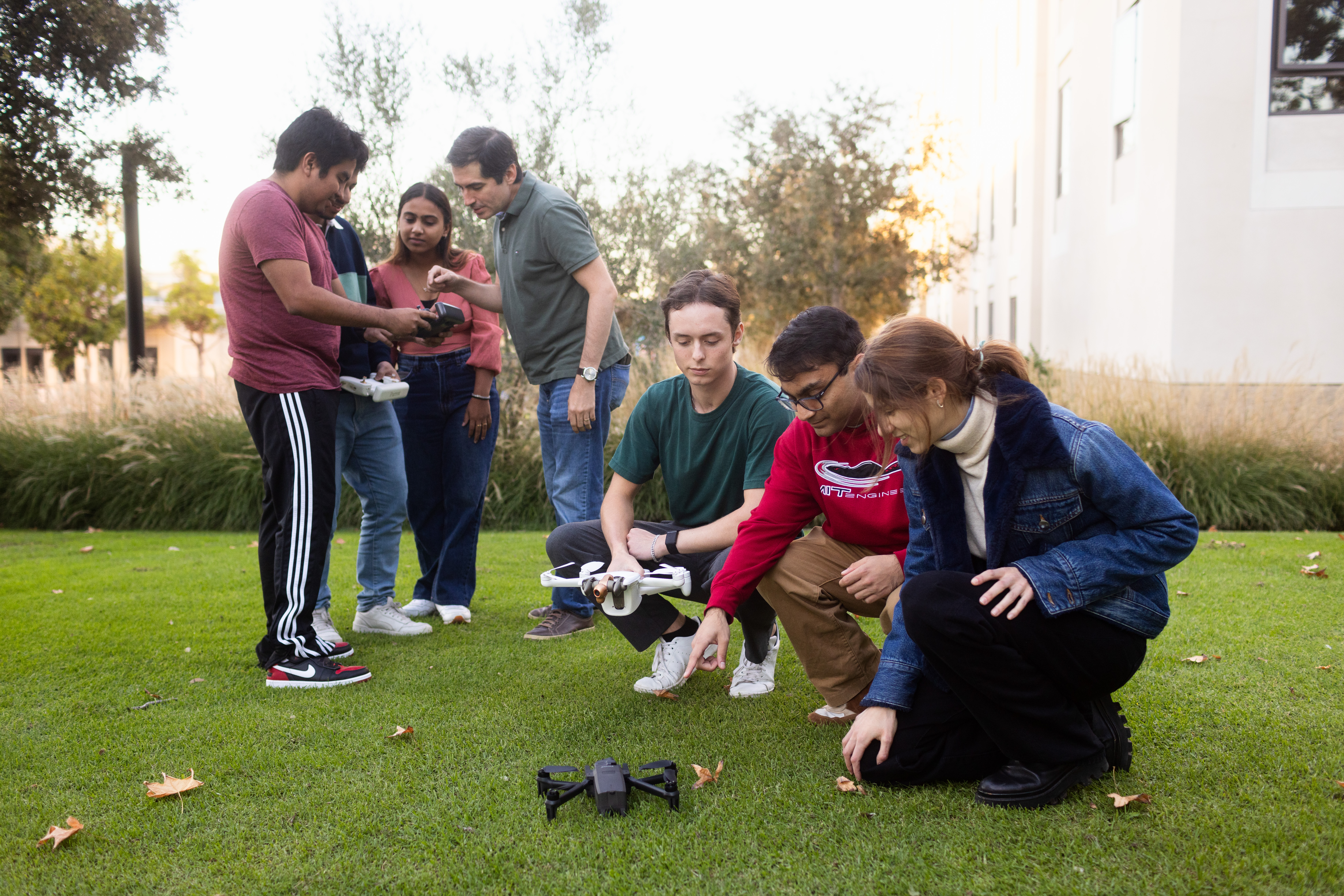
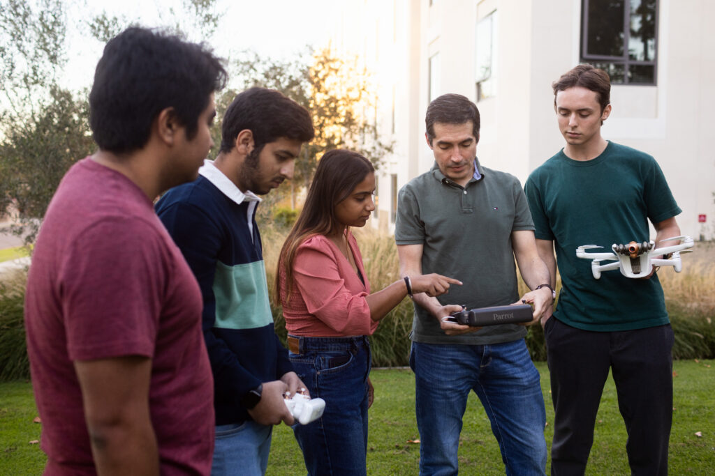
The grant, which will fund both hardware and software components of the project, provides a unique learning opportunity for students in electrical engineering, computer engineering, and computer science.

“Students are actively involved in this real-world problem-solving endeavor,” said Vejarano. “From data acquisition to flight control, they are breaking down the challenges into manageable tasks, gaining invaluable experience in the process.”
In collaboration with the U.S. Forest Service, Vejarano’s research will be tested in real-world conditions, monitoring prescribed fires and controlled burns in San Dimas Experimental Forest. The drones, acting as a cohesive unit, will detect and monitor the spread of fires, revolutionizing our approach to wildfire management.
“The wildfires in California are a pressing issue, and current methods are heavily reliant on human calculations,” Vejarano emphasizes.
Vejarano’s project addresses a significant challenge: ensuring that small drones can operate continuously and troubleshoot, effectively collaborating with each other. His vision? A fleet of drones working in harmony to monitor situations on the ground, sharing critical information seamlessly, and adapting to challenges autonomously.
“By making sure these drones can fly for long periods without central command, and even if things do happen to help them adapt to those changes, will ensure they work together effectively,” Vejarano said.
At the heart of this endeavor lies complex mathematics and technology, drawing inspiration from game theory and Gaussian Mixture Models. Vejarano’s team condenses vast amounts of data into clusters, summarizing hotspots on the ground. Each drone, equipped with thermal cameras and GPS sensors, becomes a cog in the wheel of a network, learning from its surroundings and updating the shared model in real time.

The challenges Vejarano’s research faces are simple enough but require special attention to detail. Drones have limited flight times, and the harsh environmental conditions demand resilient solutions. These autonomous machines need to plan their flight paths effectively, minimizing energy consumption and time. The research team is tackling these obstacles by ensuring the drones optimize their routes efficiently on the fly.
The project’s potential applications extend beyond wildfire monitoring. Vejarano envisions an autonomous network capable of addressing other scenarios that threaten the safety of first responders and disaster management personnel.